This Fourth of July, people across the country are going to be firing up the grill, listening to fife and drums, singing “Yankee Doodle”, watching fireworks, and gathering to commemorate the 250th anniversary of the signing of the Declaration of Independence. For the next eight years through the 250th anniversary of the Treaty of Paris (the treaty signed on September 3, 1783 that marked the end of the American Revolution), the semi-quincentennial commemoration of the American Revolution will be marked around the country with different events, anniversaries, artwork, and more. These commemorations have historically brought the people, stories, and styles of the Revolution and Colonial era back to the forefront; and doing so has created new architectural styles and preservation movements.
Possibly one of the most popular architectural styles in the United States is Colonial Revival. It’s a style that incorporates elements that you could, or would expect to, find in Colonial era architecture. In Virginia, that can mean symmetry, bricks and board and batten, pilasters and columns, and transoms and accents over the doors. You can find it in private homes, commercial structures, and even institutional buildings. While it is still widely used today, this style harkens back to the Colonial Revival movement’s large popularity between 1880 and the 1950s that spread past architecture into art, design, and more.
The beginning of the Colonial Revival movement can largely be traced back to a commemoration like the one we are heading into now- the Philadelphia Centennial of 1876, which commemorated the 100th anniversary of the signing of the Declaration of Independence. It sparked an interest in history and a romanticization of the colonial and Revolutionary time period, especially as much of the nation was still reconstructing from the American Civil War that ended in 1865. Colonial elements, events, figures like George Washington and Thomas Jefferson, and styles started to find their way into popular art and media, combining with other styles of the day. The Colonial Revival movement was further bolstered by the Columbian Exposition of 1893, or the World’s Fair, held in Chicago. It marked the 400th anniversary of Columbus’s first voyage to the Americas. Amongst the neoclassical and Beaux Arts structures built in the fairgrounds, fair goers could find recreations of some of the landmarks of the American Revolution that various states decided would represent them. For example, the Pennsylvania building was a recreation of Independence Hall, and the Virginia building was a recreation of Mount Vernon. Taking inspiration from the Columbian Exposition, Colonial Revival would combine with other prevalent architectural styles like Queen Anne, neo-classical, and Shingle, floor plans, and building techniques and technologies. These buildings would take inspiration from the romanticized version of Colonial architecture and buildings (examples being accentuating the front entry with pediments, sidelights, and transoms), and bring in elements from other architecture styles and more modern needs liked curved walls, larger panes of glass in windows, gingerbreading and intricate wood detailing, and further into the style- garages.
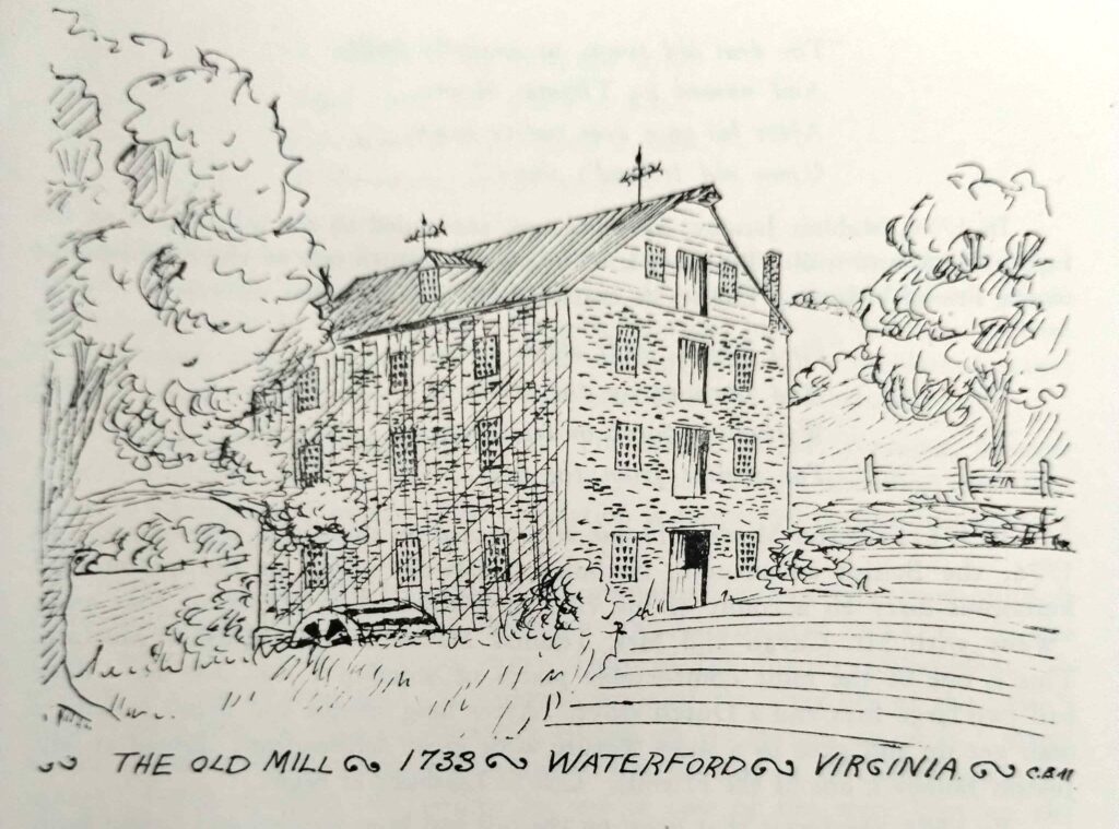
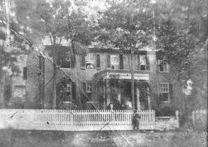
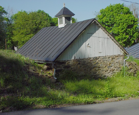
Colonial Revival would also inspire many historic preservation and history movements of the timeframe. Maybe one of the largest examples of this in Virginia is Colonial Williamsburg, which opened their first exhibition building- the reconstructed Raleigh Tavern- in 1932. Early preservationists in Waterford and the Waterford Foundation (founded in 1943) would take inspiration from the Colonial Revival movement and Colonial Williamsburg as well in their early efforts to preserve and restore the Village of Waterford. An example of this can be found in early restoration efforts of the Waterford Mill after the Foundation purchased the building in 1944.
The Colonial Revival style of architecture continues to be a prevalent style across the United States. As we enter the Commemoration of the 250th Anniversary of the American Revolution, it will be interesting to see what this returned focus on the American Revolution and the Colonial Era will inspire in art, design, and architecture.
Sources:
- Chicago Architecture Center. (n.d.) “World’s Columbian Exposition of 1893”. Chicago Architecture Center. https://www.architecture.org/online-resources/architecture-encyclopedia/worlds-columbian-exposition-of-1893
- Colonial Williamsburg Foundation. (n.d.) “History of Colonial Williamsburg”. Colonial Williamsburg Foundation. https://www.colonialwilliamsburg.org/about/history-of-colonial-williamsburg/
- Gyure, Dale Allen, Ph.D. (n.d.) “The Colonial Revival: A Review of Literature”. University of Virginia Library. https://colonialrevival.lib.virginia.edu/
- McAlester, Virginia Savage. 2019. “A Field Guide to American Houses: The Definitive Guide to Identifying and Understanding America’s Domestic Architecture”. Alfred A. Knope, New York
- National Park Service, George Washington Birthplace National Monument. (n.d.). “The Colonial Revival Movement at George Washington Birthplace”. National Park Service. https://www.nps.gov/articles/000/sparking-a-movement.htm
- National Park Service, Golden Gate National Recreation Area. (n.d.). “Colonial Revival Style 1880s-1940s”. National Park Service. https://www.nps.gov/articles/colonial-revival-architecture.htm?utm_source=article&utm_medium=website&utm_campaign=experience_more&utm_content=small
- Theobald, Mary Miley. (n.d.) “The Colonial Revival, The Past That Never Dies”. Colonial Williamsburg Foundation. https://research.colonialwilliamsburg.org/Foundation/journal/Summer02/revival.cfm